Uses animation, wave tank, live-action photography, and underwater models to show how waves develop, how coastlines are shaped, and to describe the forces that change the sea bottom.
North America: Its Plains and Plateaus
Map Skills: Using Different Maps Together
North American Regions: The Rocky Mountains
North America: Its Rivers
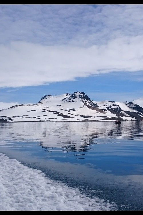
Antártica: O Continente dos Extremos
Map Skills: Recognizing Physical Features
Loading Stream...
If video doesn't play, switch server above